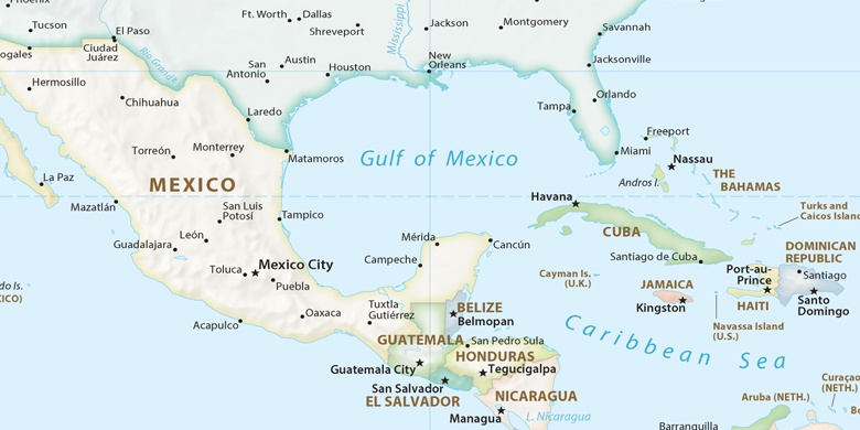
San Vicente Tancuayalab Auf der Karte
San Vicente Tancuayalab (San Luis Potosí) , Mexiko Auf der Karte.
GPS-Koordinaten: 21° 43' 6" Norden,
98° 35' 16" Westen.
» Zeitzone, » Political Map, » natürliche Map,
» San Vicente Tancuayalab Nacht Karte & » Google map.
 Zeit
ZeitSan Vicente Tancuayalab Lage der Zeitzonenkarte:
Zeitzone: GMT-06:00 = CST


Mexiko, San Vicente Tancuayalab Political Map

natürliche Map
Breite Länge: 21.71833, -98.58778
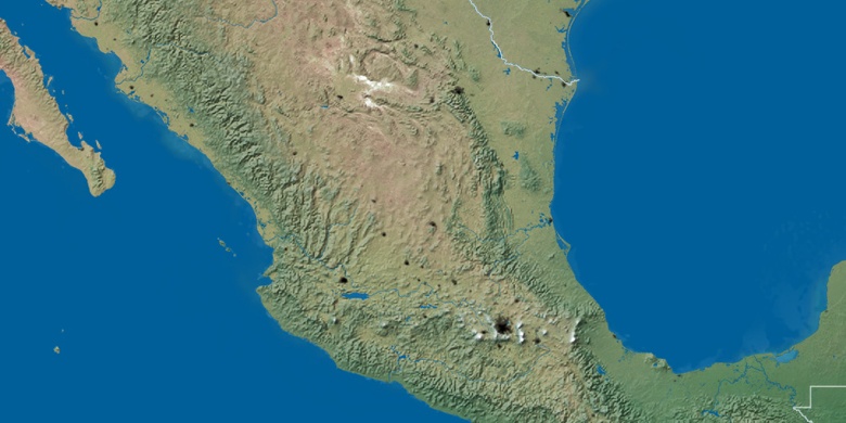

San Vicente Tancuayalab
San Vicente Tancuayalab Nacht Karte