Las Palmas Auf der Karte
Las Palmas (Baja California Sur) , Mexiko Auf der Karte.
GPS-Koordinaten: 22° 56' 12.2" Norden,
109° 56' 32.5" Westen.
» Zeitzone, » Political Map, » natürliche Map,
» Las Palmas Nacht Karte & » Google map.
 Zeit
ZeitLas Palmas Lage der Zeitzonenkarte:
Zeitzone: GMT-07:00 = MST


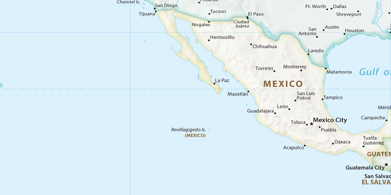
Mexiko, Las Palmas Political Map

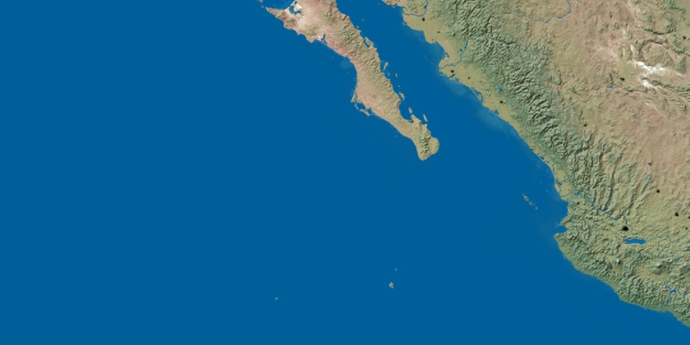
natürliche Map
Breite Länge: 22.93672, -109.94235

Las Palmas
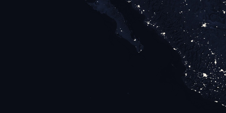
Las Palmas Nacht Karte