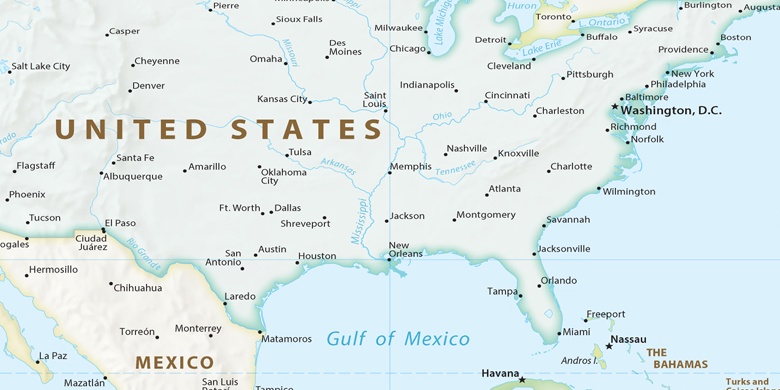
Town and Country Auf der Karte
Town and Country (Missouri) , Vereinigte Staaten von Amerika Auf der Karte.
GPS-Koordinaten: 38° 36' 44.2" Norden,
90° 27' 48.4" Westen.
» Zeitzone, » Political Map, » natürliche Map,
» Town and Country Nacht Karte & » Google map.
 Zeit
ZeitTown and Country Lage der Zeitzonenkarte:
Zeitzone: GMT-05:00 = CDT (±1 DST)


Vereinigte Staaten von Amerika, Town and Country Political Map

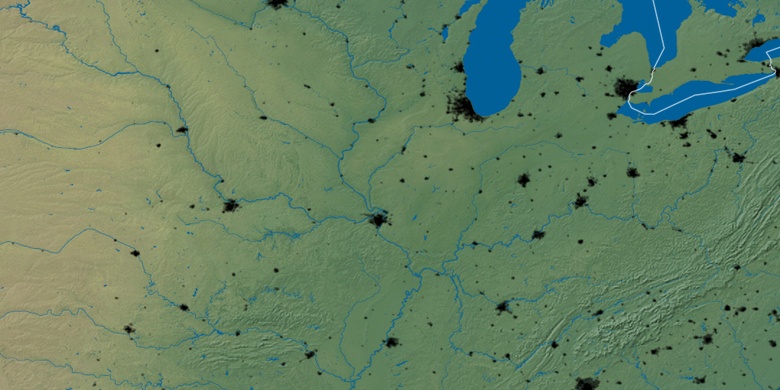
natürliche Map
Breite Länge: 38.61228, -90.46345

Town and Country
Town and Country Nacht Karte