Fort George G Mead Junction Auf der Karte
Fort George G Mead Junction (Maryland) , Vereinigte Staaten von Amerika Auf der Karte.
GPS-Koordinaten: 39° 7' 33.4" Norden,
76° 47' 20.9" Westen.
» Zeitzone, » Political Map, » natürliche Map,
» Fort George G Mead Junction Nacht Karte & » Google map.
 Zeit
ZeitFort George G Mead Junction Lage der Zeitzonenkarte:
Zeitzone: GMT-04:00 = EDT (±1 DST)


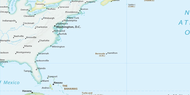
Vereinigte Staaten von Amerika, Fort George G Mead Junction Political Map

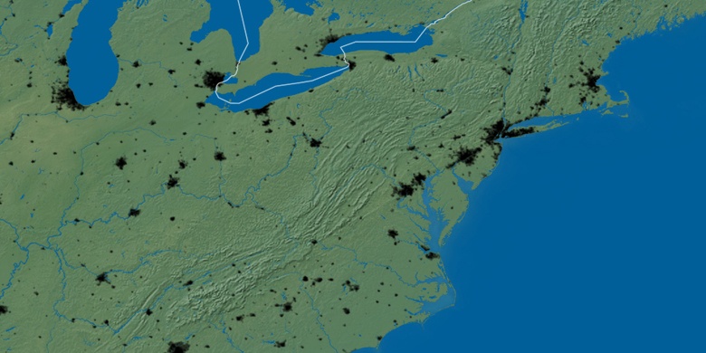
natürliche Map
Breite Länge: 39.12594, -76.78914

Fort George G Mead Junction
Fort George G Mead Junction Nacht Karte