Starobil’s’k Auf der Karte
Starobil’s’k (Luhansk) , Ukraine Auf der Karte.
GPS-Koordinaten: 49° 16' 42" Norden,
38° 54' 38.5" Osten.
» Zeitzone, » Political Map, » natürliche Map,
» Starobil’s’k Nacht Karte & » Google map.
 Zeit
ZeitStarobil’s’k Lage der Zeitzonenkarte:
Zeitzone: GMT+03:00 = EEST (±1 DST)


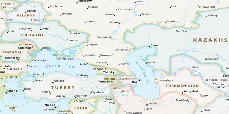
Ukraine, Starobil’s’k Political Map

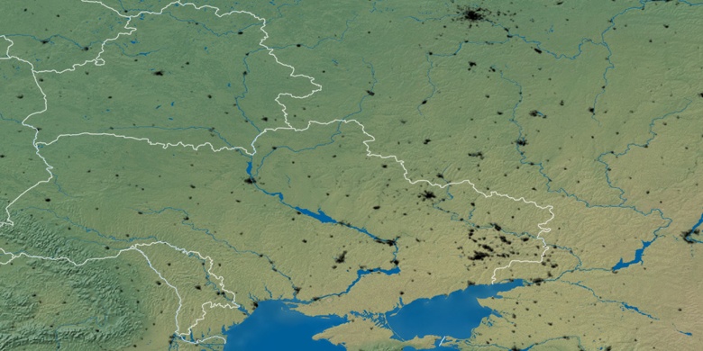
natürliche Map
Breite Länge: 49.27832, 38.91069

Starobil’s’k
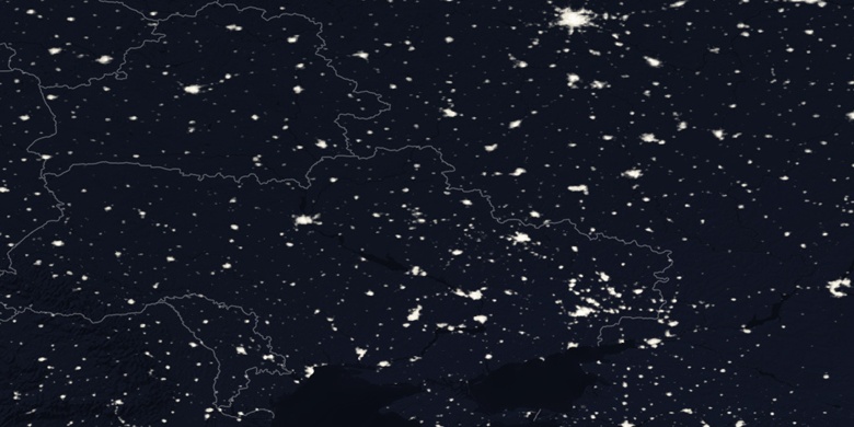
Starobil’s’k Nacht Karte