Wolmaransstad Auf der Karte
Wolmaransstad (North-West) , Südafrika Auf der Karte.
GPS-Koordinaten: 27° 11' 50.6" Süden,
25° 58' 59.2" Osten.
» Zeitzone, » Political Map, » natürliche Map,
» Wolmaransstad Nacht Karte & » Google map.
 Zeit
ZeitWolmaransstad Lage der Zeitzonenkarte:
Zeitzone: GMT+02:00 = SAST


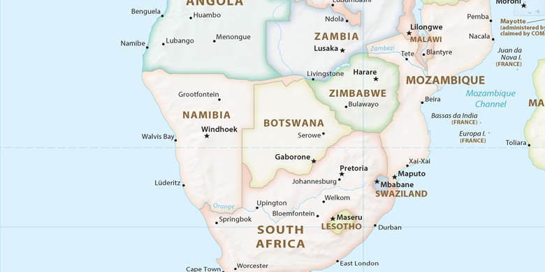
Südafrika, Wolmaransstad Political Map

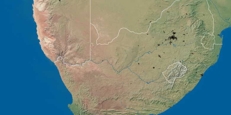
natürliche Map
Breite Länge: -27.1974, 25.98311

Wolmaransstad
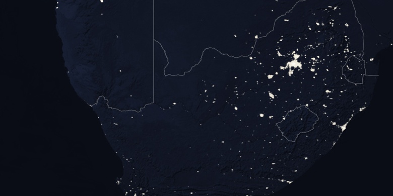
Wolmaransstad Nacht Karte