Ţūbās Auf der Karte
Ţūbās (West Bank) , Staat Palästina Auf der Karte.
GPS-Koordinaten: 32° 19' 15.3" Norden,
35° 22' 11.6" Osten.
» Zeitzone, » Political Map, » natürliche Map,
» Ţūbās Nacht Karte & » Google map.
 Zeit
ZeitŢūbās Lage der Zeitzonenkarte:
Zeitzone: GMT+03:00 = EEST (±1 DST)


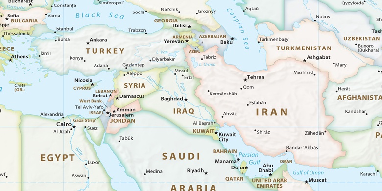
Staat Palästina, Ţūbās Political Map

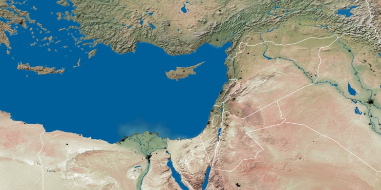
natürliche Map
Breite Länge: 32.32091, 35.36989

Ţūbās
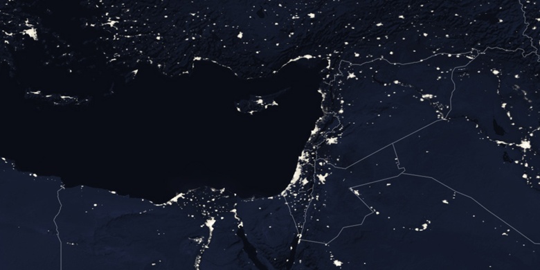
Ţūbās Nacht Karte