Szamotuły Auf der Karte
Szamotuły (Greater Poland Voivodeship) , Polen Auf der Karte.
GPS-Koordinaten: 52° 36' 43.2" Norden,
16° 34' 40.6" Osten.
» Zeitzone, » Political Map, » natürliche Map,
» Szamotuły Nacht Karte & » Google map.
 Zeit
ZeitSzamotuły Lage der Zeitzonenkarte:
Zeitzone: GMT+02:00 = CEST (±1 DST)


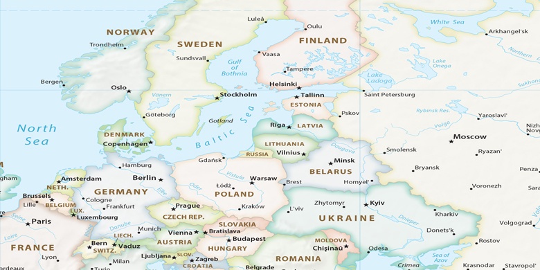
Polen, Szamotuły Political Map

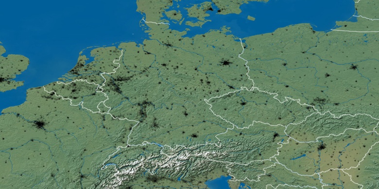
natürliche Map
Breite Länge: 52.61201, 16.57794

Szamotuły
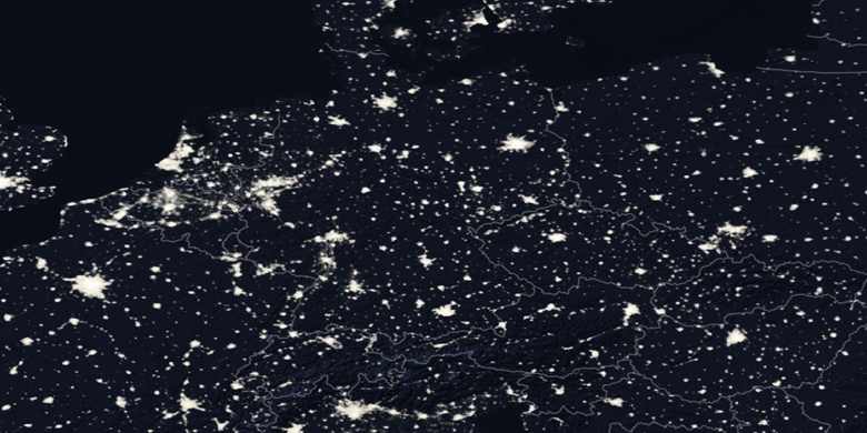
Szamotuły Nacht Karte