Lapu-Lapu City Auf der Karte
Lapu-Lapu City (Central Visayas) , Philippinen Auf der Karte.
GPS-Koordinaten: 10° 18' 37" Norden,
123° 56' 58" Osten.
» Zeitzone, » Political Map, » natürliche Map,
» Lapu-Lapu City Nacht Karte & » Google map.
 Zeit
ZeitLapu-Lapu City Lage der Zeitzonenkarte:
Zeitzone: GMT+08:00 = PST


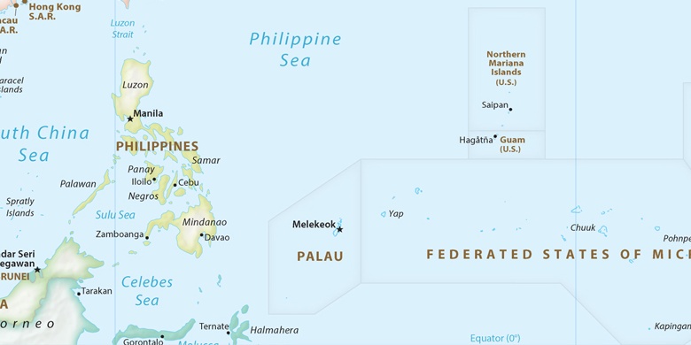
Philippinen, Lapu-Lapu City Political Map

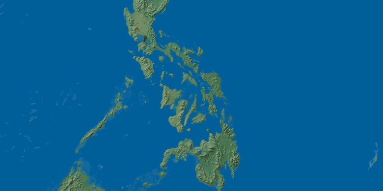
natürliche Map
Breite Länge: 10.31028, 123.94944

Lapu-Lapu City
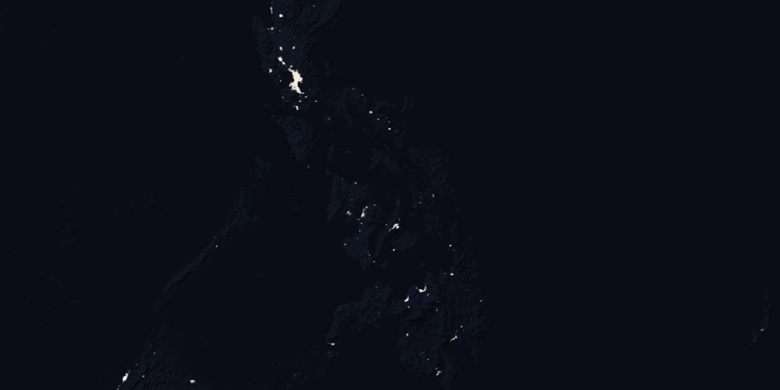
Lapu-Lapu City Nacht Karte