Indang Auf der Karte
Indang (Calabarzon) , Philippinen Auf der Karte.
GPS-Koordinaten: 14° 11' 43" Norden,
120° 52' 37" Osten.
» Zeitzone, » Political Map, » natürliche Map,
» Indang Nacht Karte & » Google map.
 Zeit
ZeitIndang Lage der Zeitzonenkarte:
Zeitzone: GMT+08:00 = PST


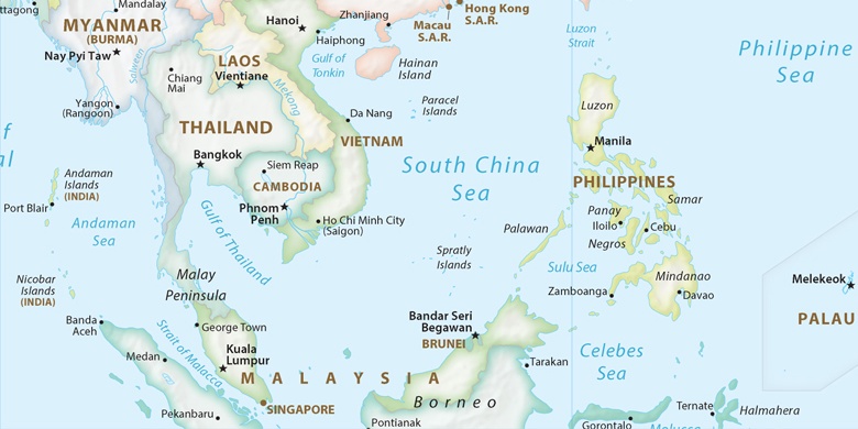
Philippinen, Indang Political Map

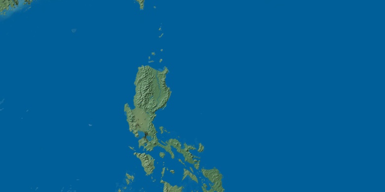
natürliche Map
Breite Länge: 14.19528, 120.87694

Indang
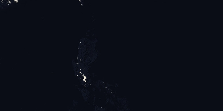
Indang Nacht Karte