San Cristobal Auf der Karte
San Cristobal (Artemisa) , Kuba Auf der Karte.
GPS-Koordinaten: 22° 42' 59.7" Norden,
83° 3' 23.3" Westen.
» Zeitzone, » Political Map, » natürliche Map,
» San Cristobal Nacht Karte & » Google map.
 Zeit
ZeitSan Cristobal Lage der Zeitzonenkarte:
Zeitzone: GMT-04:00 = CDT (±1 DST)


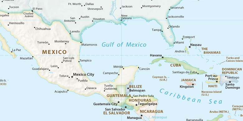
Kuba, San Cristobal Political Map

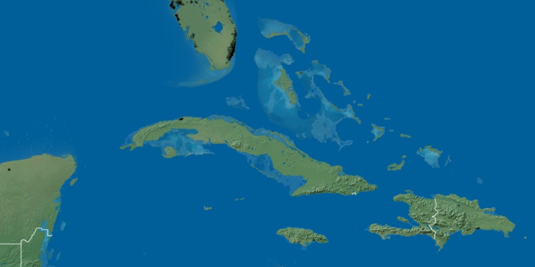
natürliche Map
Breite Länge: 22.71658, -83.05647

San Cristobal
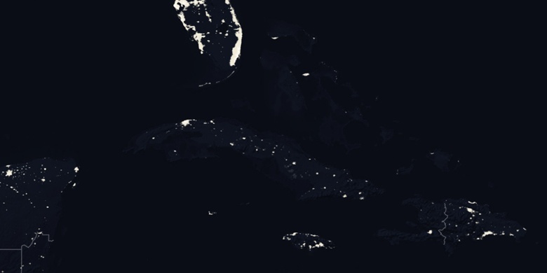
San Cristobal Nacht Karte