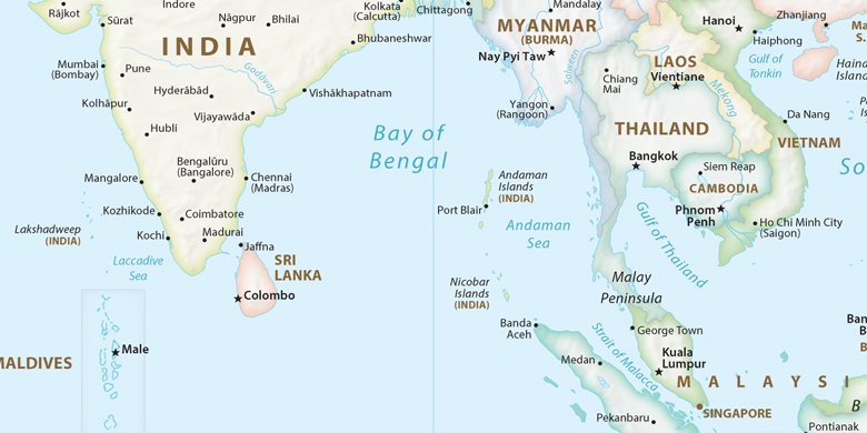
Ramanathapuram Auf der Karte
Ramanathapuram (Tamil Nadu) , Indien Auf der Karte.
GPS-Koordinaten: 9° 22' 17.7" Norden,
78° 49' 50.8" Osten.
» Zeitzone, » Political Map, » natürliche Map,
» Ramanathapuram Nacht Karte & » Google map.
 Zeit
ZeitRamanathapuram Lage der Zeitzonenkarte:
Zeitzone: GMT+05:30 = IST


Indien, Ramanathapuram Political Map

natürliche Map
Breite Länge: 9.37158, 78.83077
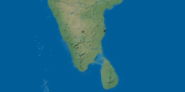

Ramanathapuram
Ramanathapuram Nacht Karte