Malīhābād Auf der Karte
Malīhābād (Uttar Pradesh) , Indien Auf der Karte.
GPS-Koordinaten: 26° 55' 20" Norden,
80° 42' 38.8" Osten.
» Zeitzone, » Political Map, » natürliche Map,
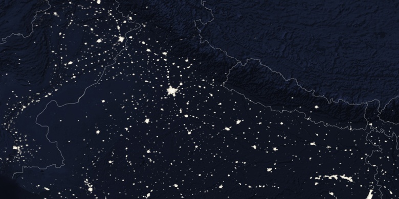
» Malīhābād Nacht Karte & » Google map.
 Zeit
ZeitMalīhābād Lage der Zeitzonenkarte:
Zeitzone: GMT+05:30 = IST


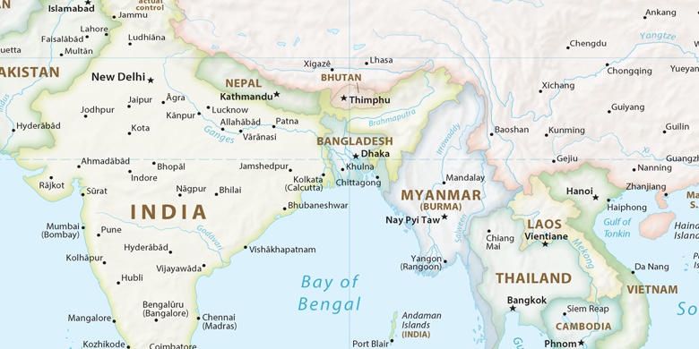
Indien, Malīhābād Political Map

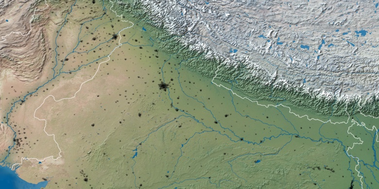
natürliche Map
Breite Länge: 26.92223, 80.71078

Malīhābād
Malīhābād Nacht Karte