Kannus Auf der Karte
Kannus (Central Ostrobothnia) , Finnland Auf der Karte.
GPS-Koordinaten: 63° 53' 60" Norden,
23° 53' 60" Osten.
» Zeitzone, » Political Map, » natürliche Map,
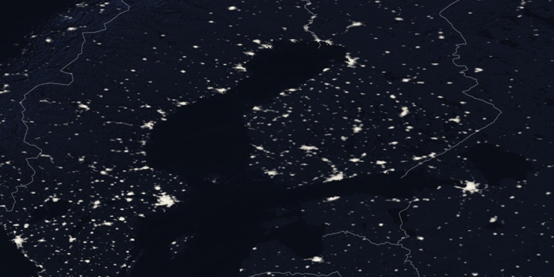
» Kannus Nacht Karte & » Google map.
 Zeit
ZeitKannus Lage der Zeitzonenkarte:
Zeitzone: GMT+03:00 = EEST (±1 DST)


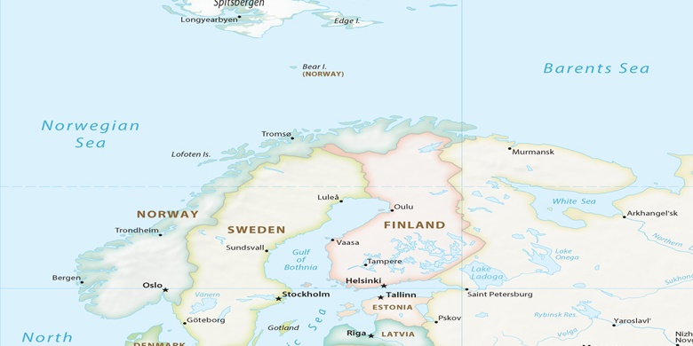
Finnland, Kannus Political Map

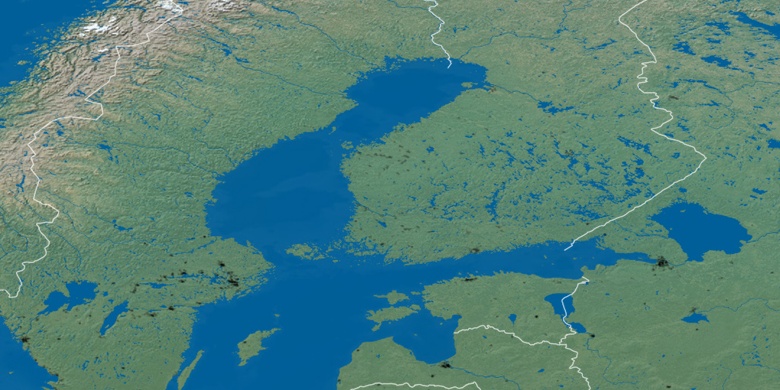
natürliche Map
Breite Länge: 63.9, 23.9

Kannus
Kannus Nacht Karte