Phillip Island Auf der Karte
Phillip Island (Victoria) , Australien Auf der Karte.
GPS-Koordinaten: 38° 29' 0.6" Süden,
145° 13' 51.7" Osten.
» Zeitzone, » Political Map, » natürliche Map,
» Phillip Island Nacht Karte & » Google map.
 Zeit
ZeitPhillip Island Lage der Zeitzonenkarte:
Zeitzone: GMT+10:00 = AEST


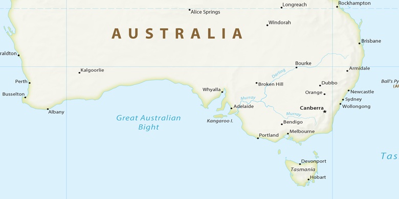
Australien, Phillip Island Political Map

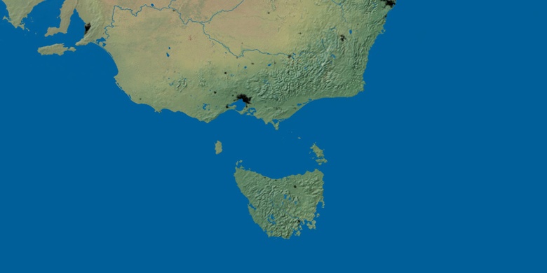
natürliche Map
Breite Länge: -38.48349, 145.23102

Phillip Island
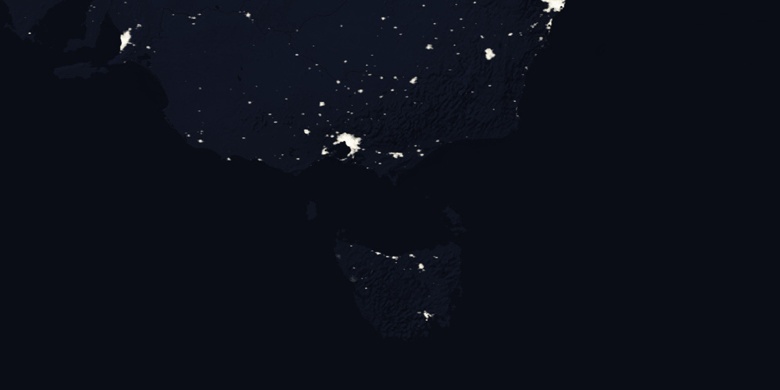
Phillip Island Nacht Karte