Charlotte Amalie Auf der Karte
Charlotte Amalie (Saint Thomas Island) , Amerikanische Jungferninseln Auf der Karte.
GPS-Koordinaten: 18° 20' 30.8" Norden,
64° 55' 50.5" Westen.
» Zeitzone, » Political Map, » natürliche Map,
» Charlotte Amalie Nacht Karte & » Google map.
 Zeit
ZeitCharlotte Amalie Lage der Zeitzonenkarte:
Zeitzone: GMT-04:00 = AST


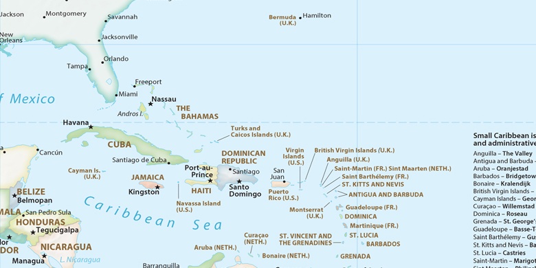
Amerikanische Jungferninseln, Charlotte Amalie Political Map

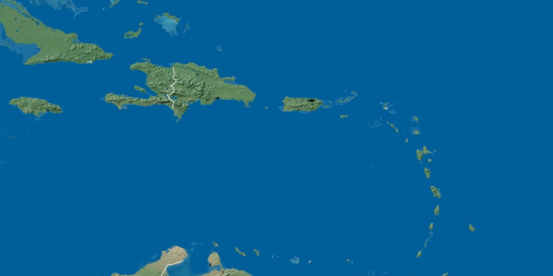
natürliche Map
Breite Länge: 18.3419, -64.9307

Charlotte Amalie
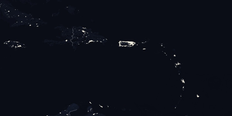
Charlotte Amalie Nacht Karte