Al Maḩallah al Kubrá Auf der Karte
Al Maḩallah al Kubrá (Muḩāfaz̧at al Gharbīyah
) , Ägypten Auf der Karte.
GPS-Koordinaten: 30° 58' 14.3" Norden,
31° 10' 0.8" Osten.
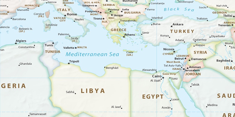
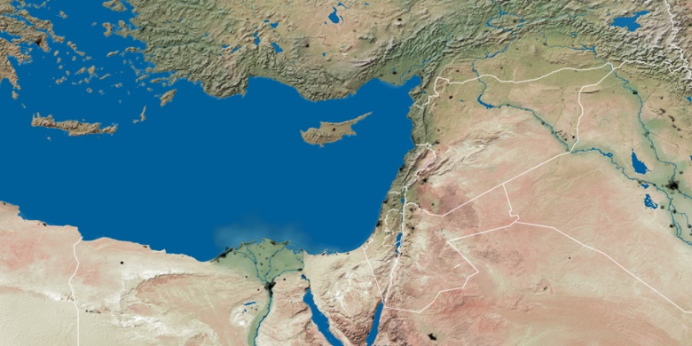
» Zeitzone, » Political Map, » natürliche Map,
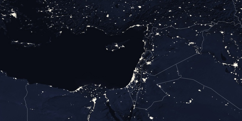
» Al Maḩallah al Kubrá Nacht Karte & » Google map.
 Zeit
ZeitAl Maḩallah al Kubrá Lage der Zeitzonenkarte:
Zeitzone: GMT+03:00 = EEST (±1 DST)


Ägypten, Al Maḩallah al Kubrá Political Map

natürliche Map
Breite Länge: 30.97063, 31.1669

Al Maḩallah al Kubrá
Al Maḩallah al Kubrá Nacht Karte