Tagāw-Bāy Auf der Karte
Tagāw-Bāy (Sar-e Pol) , Afghanistan Auf der Karte.
GPS-Koordinaten: 35° 41' 57.9" Norden,
66° 3' 41.9" Osten.
» Zeitzone, » Political Map, » natürliche Map,
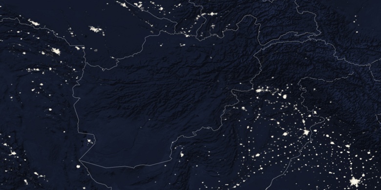
» Tagāw-Bāy Nacht Karte & » Google map.
 Zeit
ZeitTagāw-Bāy Lage der Zeitzonenkarte:
Zeitzone: GMT+04:30 = +0430


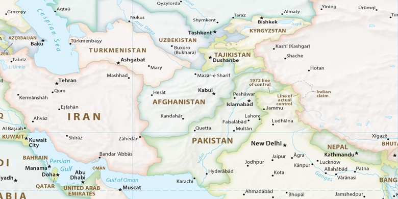
Afghanistan, Tagāw-Bāy Political Map

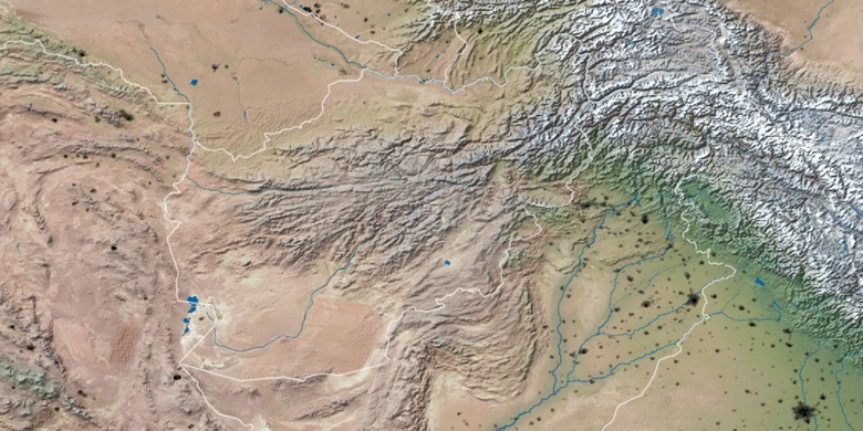
natürliche Map
Breite Länge: 35.69941, 66.06164

Tagāw-Bāy
Tagāw-Bāy Nacht Karte